When I plan an expedition or hike I sometimes spend hours, weeks or even months planning and thinking about the routes. What will the conditions will be like? What do the place names reveal? Will there be any unsuspected treasures, cultural or natural or something in between?
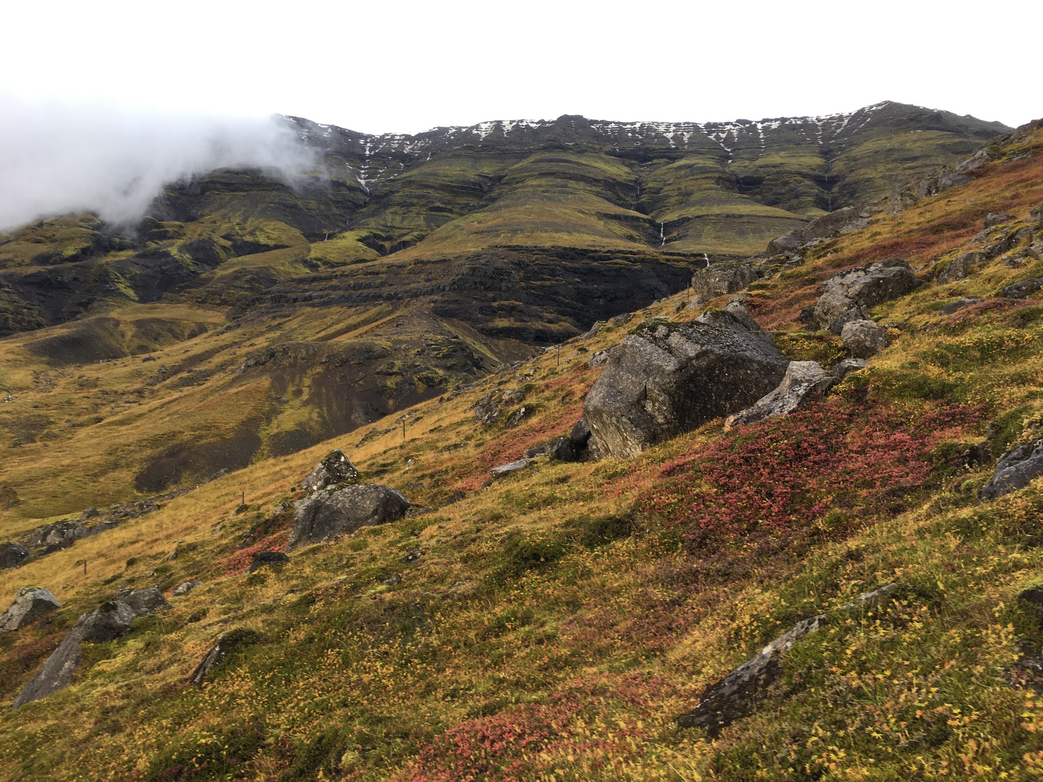
When I return I write pages and pages about the trip, what I saw, discovered, felt, experienced. But I also write technical information, a precise record of the route taken, the conditions underfoot and any points of interest, topographical, geological, ecological or historical. I’m endlessly fascinated, too, by the weather (even when soaking wet after hours of horizontal rain, an Icelandic speciality drenched), a fascination that both British and Icelandic cultures seem to share. The clouds and skies here and endlessly variable and consistently beautiful.
Wisps of cloud looking south in Friðland að Fjallabaki towards Áltavatn and Eyjafjallajökull. August 2020.
Getting out and about like this is part of how I feel connected, and how I strive to maintain that connection, to the world around me. As I explore both by mind and foot, I feel my awareness seeping outwards, tendrils of knowledge and experience snaking their way through time and space and constantly enriching my experiences.
Sunlight sparkles on glass in glisten of cloud. Hrafntinnusker, August 2020.
I enjoy the wonderment of natural beauty or cultural interest equally as much as the technical elements of map-reading, navigation and all-round survival in places off the beaten track. It’s a nerdy appreciation for both statistics (distance travelled, elevation gained) as well as equipment and how to use it. For me, this is about combining the desire (the need?) to get out there and see with the limitations of the human body (and mind). If it’s blowing 60mph will I be able to gaze in one direction long enough to see the landscape I’ve come to experience; if I’ve hiked 20km through mist and snow and hail, will I have gained anything from the experience, other than being able to sleep like a log at the end of it, and really enjoying that burger? I fully believe that desk-bound knowledge is only one element of the things we have to learn and share; the rest of it comes from getting out there, being, feeling, talking, seeing. This is true for someone like me, who researches landscape and place names, but really for anyone who is interested in people and place, no matter what your specialism. Can you really be said to understand something until you’ve seen it in the flesh; can you understand a person until you’ve seen the place they live(d) in and walked their landscape with your own feet?
Exploring the fjord just north of Qaqortoq in south Greenland, close to the Hvalsey church, one of the most striking and lasting remains from Norse Greenland. July 2019.
Despite all this, it took me a long time to put something together that I wouldn’t mind sharing. Surely all this research/thinking could be useful to others as well, right? Part of the final push was realising that I had nothing to lose, that if no one read or understood it, the world was no worse off than before; and if, by some miracle, it encouraged someone to head out their front door and explore somewhere new, then I would have achieved something. Also, like all creative people, producing material to share can feel like a huge pressure and the temptation is to make it perfect before letting even one person read it. This is of course a load of bollocks, nearly impossible to do, and even if you think you’ve achieved it, I guarantee you’ll read it again the next day and find something wrong with it. No. Experiences and knowledge are to be shared, and by sharing, we can keep some of the things we experienced; we can develop our thinking, our analytical skills and make it clearer in our minds what we know and what we think.
So last month, I wrote up a small piece about hiking on of the lesser known routes on Esja, Reykjavík’s city mountain. This was an obvious choice, as I’d hiked the route countless times before and had a wealth of knowledge and stories to draw upon. Also, being back in Iceland, but only ever temporarily, I have to make do with public transport and Esja is one of the most accessible places from the city. It's not perfect, but it's out there, I did it. You can read the post here, on my "proper" blog.
Exploring the Esja plateau. August 2019.