Public transport mishaps and a claggy mess on the mountain
In connection with the last few posts on my "proper" blog, I went on another adventure with the aim of writing up the route, but it didn’t quite turn out as intended. Making use of Iceland’s public bus system, Strætó, I had a 25km circuit planned, from Laxness in Mosfellsdalur (east of Reykjavík, on the way to Þingvellir), up Móskarðshnjúkar (the two rhyolite peaks on the eastern side of Esja), and then along the Esja plateau before descending down Gunnlaugsskarð and to the busstop at the bottom of Esja. Clearly, this was an ambitious day with not only a lot of distance and elevation, but extremely tiring ground conditions (the plateau is mile after mile of treacherous boulder field). Moreover, I was wedded to the bus schedule, which meant I could only arrive in Mosfellsdalur by about 12.30 in the afternoon. The forecast was mixed, with rain in the morning but sun and little wind in the afternoon. I decided to go for it.
The morning didn’t look good; the rain was heavy and didn’t let up even a little bit. The bus into Mosfellsdalur is so seldom used that you have to order it in advance, and true to Strætó’s lousy record, my ordered ride never showed up. After several phone calls, a ride eventually materialised but when I arrived at the start of the hike, it was 1.15pm and still chucking it down, though thankfully with no wind.
Autumnal colours beneath Kistufell, late September 2020.
Trying to make the last bus from Esja at around 10.30pm was now pretty ambitious, and this, coupled with the weather, made me less than keen to try. After hiking 6km along a track into the shadow of the mountain, Esja’s flanks and summit were still cloaked in
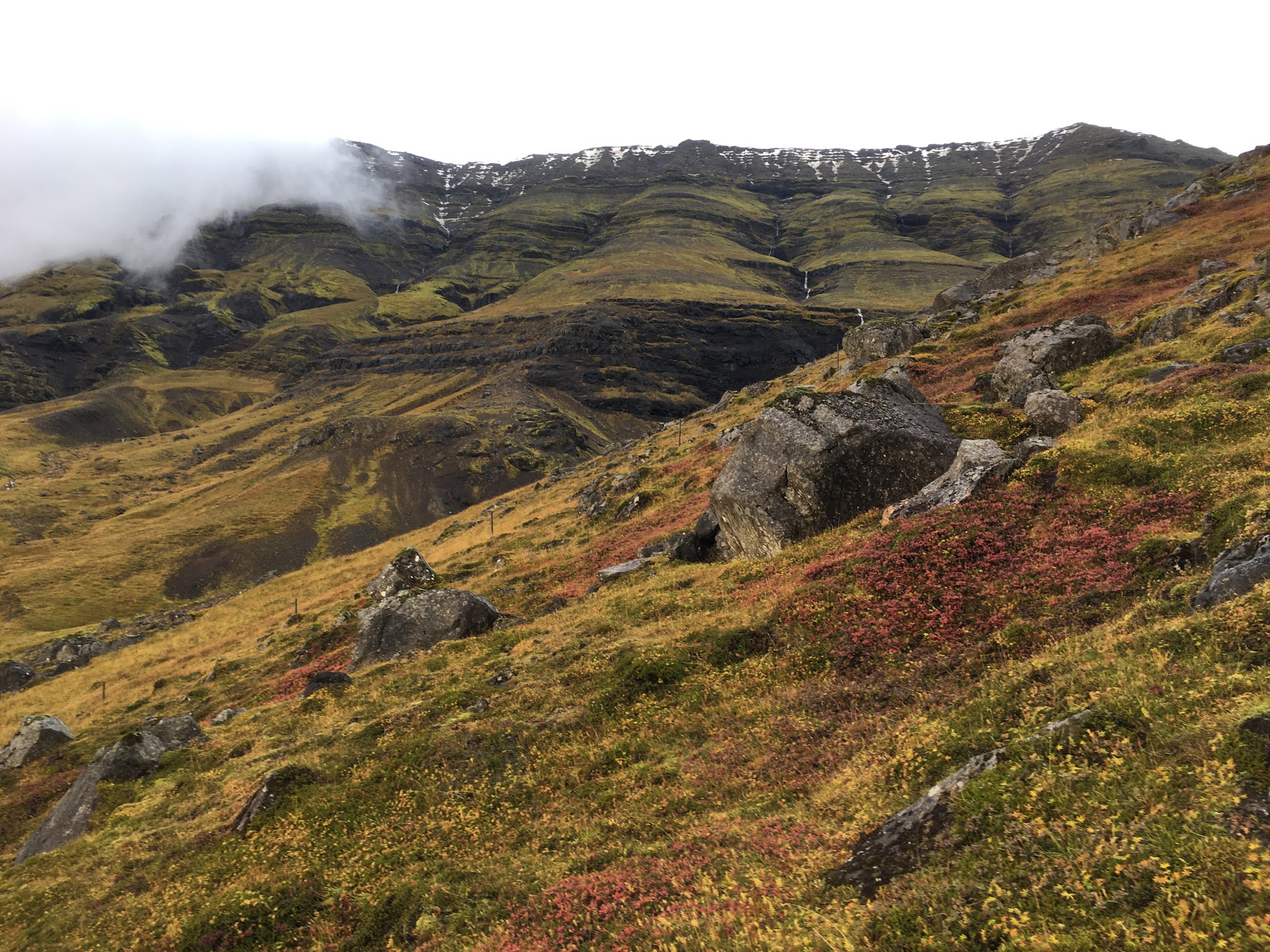
clag, and I was wet to the bone. My planned route clearly wasn’t to be, but it was still a chance to explore the southern and eastern slopes of Kistufell, the subject of
a previous blog post. I wanted to explore the valley of Grafardalur between Kistufell and Hátindur as well as get a closer look at the numerous waterfalls that poured over Kistufell’s craggy southern cliffs.
Map covering Grafardalur, east of Kistufell and north of Leirvogsá. Map after Landmælingar Íslands. Kortaflokkur: NGA C763; Kortanúmer: 1613-3; Safnanúmer: 146.13.1
These cliffs proved bountiful subjects of inquiry (more on this later), and I stumbled upon a gem of a gill with a riotous beck at its centre, lined with waterfall after waterfall after tumbling waterfall, so many that the mountain was more falling water than stone or rock. In my head, I think about this place as “Fossagil” or Gill of Waterfalls. Note the one L in Icelandic and two in English. "Gill" is a borrowing from Old Norse and features in several dialects of English, including the topographical terms of Lakeland, where I grew up.
I will write more about the route in a separate post, but for now, enjoy a picture from towards the end of the day, when the clag was still rolling in bands but the rain had stopped. The cloud cleared in sporadic bursts to reveal a blue sky and warm evening light. I had to cross several rivers on the march back, but one in particular caught my eye. I was struck by this perspective on the mountain, with a lone tree eking out its living on an isolated rock at the edge of a beck, with no one to sing its praises.


No comments:
Post a Comment